The Water Security Agency (WSA) released the preliminary spring runoff outlook for 2020.
Although well below normal snowfall accumulations have occurred to date over the southern portion of the province, near normal snowmelt runoff is expected over these areas because of an extremely wet fall.
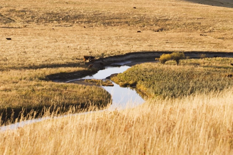
Throughout the fall, most of southern Saskatchewan received precipitation well above normal, with the wettest areas being around Swift Current and the Souris River Basin. While wet conditions at freeze-up increase the runoff potential during the spring melt, it does not guarantee that a flood will occur.
In central and northern Saskatchewan, below normal spring runoff is expected across most areas because of near normal moisture at freeze-up, combined with below normal winter precipitation. Only some northern areas, particularly around Cluff Lake, have received near normal winter precipitation to date.
Last summer saw near to above normal rainfall, which alleviated the dry conditions experienced throughout most of the grain belt last spring. The only areas where drier than normal conditions still existed at freeze-up were around Kindersley, between Saskatoon and Prince Albert, and a small area northeast of Yorkton extending to the Manitoba border.
While conditions over much of the south were wetter than normal last fall, conditions were not as wet as the falls of 2010 and 2016.
Precipitation amounts are predicted to be near normal across the province for February, March, and April. However, the spring runoff outlook could change as there is potentially another 8-10 weeks of winter remaining. The first spring runoff forecast will be issued early in March.


